Entrevennes

  • Entrevennes et ses champs de lavande
  • Vue d'Entrevennes
Entrevennes et ses champs de lavandeVue d'Entrevennes

Presentation

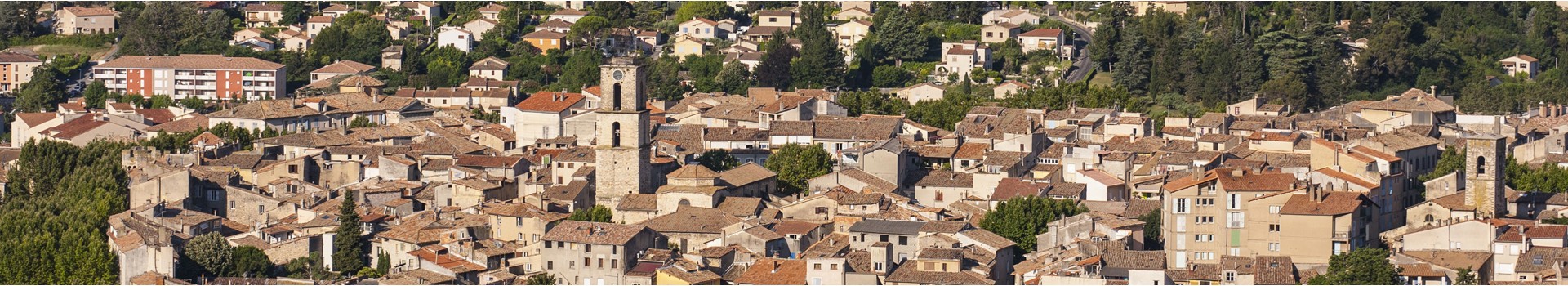
This perched, ring-shaped village overlooks part of the Valensole plateau, from which it is separated by the Asse valley. Entrevennes lies at the heart of the Puimichel plateau. Its wooded valleys are irrigated by the Rancure, a tributary of the Durance.
Période(s) d'ouvertureFrom 01/01 to 31/12, daily.
Catégory/ies
  • Localisation :
    • Entrevennes
  • Type of culturel patrimony :
    • Historic site and monument
  • Historical patrimony :
    • Historic patrimony
    • Château
    • Town / Village
    • Wash house
    • Fountain
Contact
Entrevennes
Mairie Place de la Mairie
Le Village
04700
Entrevennes
Phone : +33 4 92 78 65 53
mail / message
FICHE_INFO_SIMPLE_ECRIRE_MESSAGE
Fields with an asterisk * must not be left blank
My request
Your Contact Details
In accordance with Law No. 78-17 of 6 January 1978 of the National Committee for Information Technology and Civil Liberties (CNIL) with regard to computing, files and liberties (article 36), the interested party is entitled to ask for his/her personal information to be rectified, completed, clarified, updated or deleted if it is inaccurate, incomplete, ambiguous, elapsed or in respect of which it is forbidden to use, disseminate or store said information. Should you wish to exercise this right, please specify the fact in the form above.
Travel plan

Your travel note is empty

Show map Close Map
  • Spoken language(s) :
    • French

Map

FICHE_INFO_SIMPLE_LIBELLE_DESTINATION
Entrevennes
Mairie Place de la Mairie
Le Village
04700
Entrevennes
GPS coordinates
Latitude : 43.938
Longitude : 6.023
Travel plan

Your travel note is empty

Show map Close Map