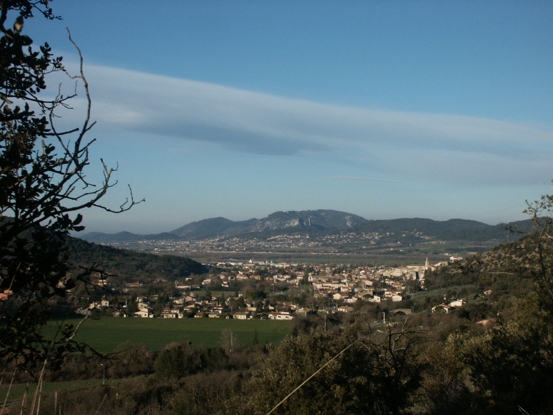
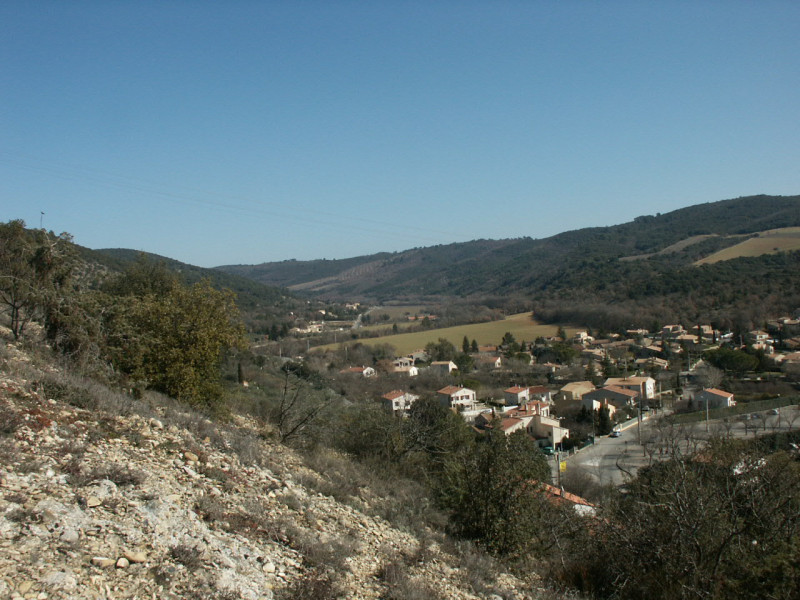
Val de Rancure
Entrevennes, Vinon-sur-VerdonPresentation
This tributary of the Durance rises in Saint-Jeannet at an altitude of 580 m. The river is 23.9 km long.
It has been dry since the early 2000s.
It has been dry since the early 2000s.
Opening day(s)
All year long 2024
Every day
Catégory/ies
- Water :
- River
- nature miscellaneous :
- Valley / glen
Useful Information
- Period :
- Autumn
- Summer
- Winter
- Spring
Tarifs
Free access.
Contact
Val de Rancure
Val de Rancure
04700
Entrevennes
- Spoken language(s) :
FICHE_INFO_SIMPLE_LIBELLE_DESTINATION
Val de Rancure
Val de Rancure
04700
Entrevennes
GPS coordinates
Latitude : 43.93648
Longitude : 6.034955


