Brunet

  • brunet.jpg
  • Brunet
  • Le Village
  • Chapelle
brunet.jpgBrunetLe VillageChapelle

Presentation

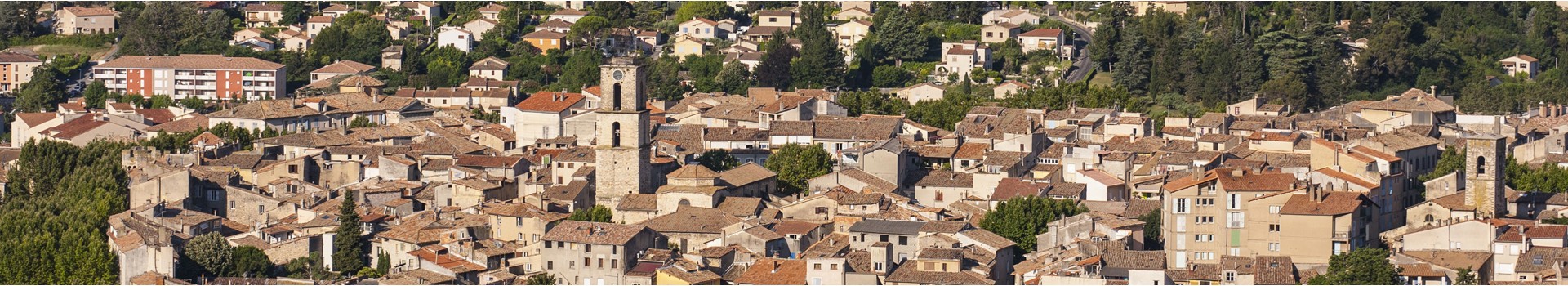
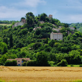
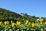
Situated on the left bank of the Asse river, at an altitude of 425 m, this perched village is built on the northern slope of the Valensole plateau. The commune comprises several hamlets: Trabaye and Le Grand Logisson.
Période(s) d'ouvertureFrom 01/01 to 31/12, daily.
Catégory/ies
  • Localisation :
    • Brunet
  • Type of culturel patrimony :
    • Historic site and monument
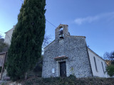
  • Religious patrimony :
    • Religious heritage
    • Church
    • Wayside cross
  • Historical patrimony :
    • Historic patrimony
    • Ruins and remains
    • Town / Village
    • Square
Information
  • Parking :
    • Car park
  • Equipment :
    • Defibrillator
  • Leisure facilities :
    • Picnic area
    • Play area
Contact
Brunet
Mairie, le Village
04210
Brunet
Phone : +33 4 92 74 88 13
mail / message
FICHE_INFO_SIMPLE_ECRIRE_MESSAGE
Fields with an asterisk * must not be left blank
My request
Your Contact Details
In accordance with Law No. 78-17 of 6 January 1978 of the National Committee for Information Technology and Civil Liberties (CNIL) with regard to computing, files and liberties (article 36), the interested party is entitled to ask for his/her personal information to be rectified, completed, clarified, updated or deleted if it is inaccurate, incomplete, ambiguous, elapsed or in respect of which it is forbidden to use, disseminate or store said information. Should you wish to exercise this right, please specify the fact in the form above.
Travel plan

Your travel note is empty

Show map Close Map
  • Spoken language(s) :
    • French

Map

FICHE_INFO_SIMPLE_LIBELLE_DESTINATION
Brunet
Mairie, le Village
04210
Brunet
GPS coordinates
Latitude : 43.892
Longitude : 6.0296
Travel plan

Your travel note is empty

Show map Close Map